Press · Media kit · September 17, 2026
Saint Paul Linear Park Alliance — media kit.
Everything a newsroom needs on one page: the story background, the numbers, who to quote, tracked links, an on-air QR code, and downloadable assets. Questions: [email protected].
Today’s story
The skyway through the Alliance Bank Center in downtown Saint Paul has been closed since the building shut at the start of April 2025 (the City limited skyway access through it on April 2). In June 2026 the City committed to reopening three closed sections, two of them through the former Alliance Bank Center. Today the Alliance is walking that route as the reopening moves forward, from Landmark Towers to Town Square, the stretch cut off before the Alliance Bank junction, past the small businesses that kept their doors open on a severed corridor. The occasion is a new policy document the Alliance is beginning to research and build with Open Civic Intelligence Ventures LLC: the Downtown Saint Paul Jumpstart Plan, a plan to sustainably jumpstart downtown with policy that has worked in other cities.
The plan’s premise: downtown runs on nonprofit and institutional timelines, and small business owners do not have that runway. It proposes investing in ideas directly so empty spaces fill now, incentivizing owner-occupied storefronts in newly converted buildings still leasing up, strengthening the laws that govern the skyway on the Des Moines model, and setting common design standards with residents and small business owners, so that redesigns serve the residents and visitors of Saint Paul rather than a select few. The method, in order: legibility first (the live map at spskyway.com), prove demand (681 survey responses, 45 easements on the public record, a petition to the City Council), then change policy (this plan). That is how it is done sustainably and people first.
Four things to know
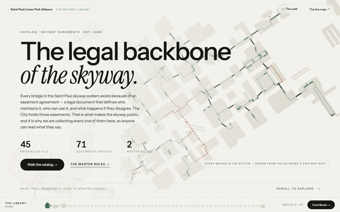
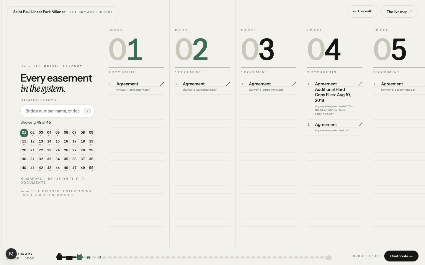
1. The skyway is already public, by easement. Roughly five miles of climate-controlled corridor connecting forty-seven downtown blocks, built on easements granted to the City. Saint Paul’s Chapter 140 calls skyway space the “easement area.” The easements are the lever, and every one on file is readable in the Skyway Library.
2. 681 people told Friends of the Saint Paul Skyway what is wrong. In the 2026 Saint Paul Skyway survey (March 2 – May 2, 2026), conducted by Friends of the Saint Paul Skyway,, 65% named closed or vacant businesses as a top frustration and 56% named closed skyways through main thoroughfares. 81% of those who answered call the skyway essential to downtown. 70% want pop-up markets in the corridor; 59% want more food options and 52% more retail.
3. The fix is speed. Fill empty spaces on a small-business timeline, not a grant-cycle timeline. Owner-occupied storefronts. Uniform skyway rules that are actually enforced. Design standards set by the people who live and work here.
4. The map is live. spskyway.com shows every bridge, every closure and every open door, updated as the corridor changes. The first step to a park is a map people can read.
By the numbers
About the Alliance
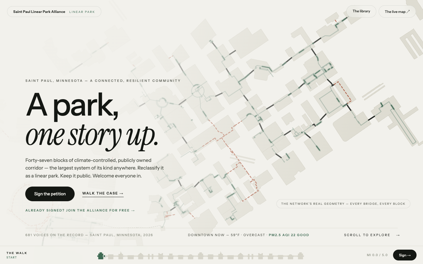
Short. The Saint Paul Linear Park Alliance is a Minnesota nonprofit of residents and business owners working to reclassify the Saint Paul skyway, forty-seven blocks of climate-controlled corridor that is public by easement, as a linear park: a park, one story up.
Long.The Saint Paul Linear Park Alliance is a Minnesota nonprofit corporation formed in 2026 by downtown residents and business owners. Its petition asks the Saint Paul City Council to begin a Linear Park reclassification of the skyway system, moving it from a code-enforcement asset to a programmed public space. The Alliance organizes support and raises funds for small projects across the system, keeps the public record of the easements that make the skyway public, and stands ready to serve as the park’s conservancy partner. It works in partnership with Open Civic Intelligence Ventures LLC (Open-Civ), builder of the live skyway map at spskyway.com.
Spokesperson
Tracked links
Use these exactly as written; the tags let us attribute traffic and sign-ups to the segment. The two short paths are the ones to say on air or put on screen.
lands on the join form, tagged as a broadcast mention
the code below encodes this; lands on the join form, tagged as a scan
The live map: spskyway.com
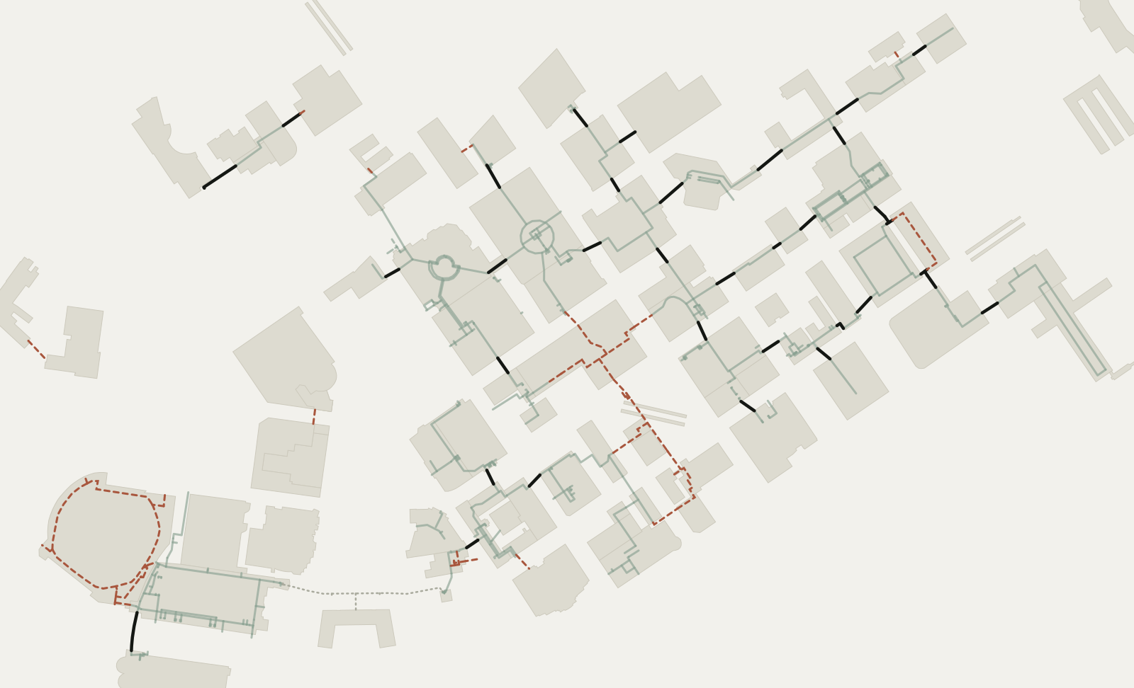
The first step was making the skyway legible. spskyway.com is the live map of the Saint Paul skyway, built by Open Civic Intelligence Ventures LLC (Open-Civ) and run in partnership with the Alliance: every bridge and corridor drawn from the network’s real geometry, hours and closures kept current, directions from any entrance to any door, and the businesses one story up. It is the kind of wayfinding tool every downtown revival plan keeps asking for, and it already exists. The Alliance’s site embeds it, the Skyway Library documents it, and the Jumpstart Plan measures activation with it.
the second code below encodes this; lands on the live map, tagged as a scan
QR codes
Points to linearparkalliance.org/fox9, which opens the Alliance join form. High error correction and a short address, so it stays scannable through broadcast compression. Keep it at least a sixth of the frame height with quiet space around it, on a light background. The first code is for air; the second, to the live map, is for print and web.






Assets
Download everything (zip) or pick individual files:

Credit lines
Research and policy: Open Civic Intelligence Ventures LLC, in partnership with the Saint Paul Linear Park Alliance. Survey: the 2026 Saint Paul Skyway survey, conducted by Friends of the Saint Paul Skyway (skywayfriends.org), March 2 – May 2, 2026, 681 responses; tallies by Open-Civ at spskyway.com/linear-park/survey. Map: Open Civic Intelligence Ventures LLC and the Saint Paul Linear Park Alliance; photos: Saint Paul Linear Park Alliance. Free to use with credit.
© 2026 Saint Paul Linear Park Alliance — Built in Saint Paul, for Saint Paul